71-73 ARLINGTON ST U 71
Owner Information
STOLL DANIEL J
71 ARLINGTON ST
NEWTON, MA 02458


Property Details
71-73 ARLINGTON ST U 71 is classified as a Residential Condominium (Family duplex).
The primary structure on this property was built in 1935. There are 2,169ft2 of built area within this property. There is 1,494ft2 of residential/living space within this property. This property is listed as having 6 rooms.
71-73 ARLINGTON ST U 71 is valued at $692,200. The land is valued at $0 and the structures are valued at $692,200.
This property is in Zone MR1. Confirm with local Zoning Board authorities to ensure there are no overlays or other easements on this property.
The most recent deed for 71-73 ARLINGTON ST U 71 is recorded at the local registrar in Book 61442, Page 339. 71-73 ARLINGTON ST U 71 was last sold on Thursday, March 21, 2013 for $506,500.
Assessment data from fiscal year 2022.
Flood Data
According to the FEMA National Flood Hazard Layer, this property does not appear to be in a flood zone. It may also be in an area not yet reviewed. Nonetheless, confirm this information prior to taking any action.
To view the flood hazards around this property, create a FEMA "Firmette" Map of the area around 71-73 ARLINGTON ST U 71.
Broadband Internet Providers
| Provider | Type | Bandwidth (mbps) | |
|---|---|---|---|
| Viasat Inc | Satellite | 100 | 3 |
| Verizon New England Inc. | DSL | 3 | 0 |
| Verizon New England Inc. | Fiber | 940 | 880 |
| Comcast | Cable | 1000 | 35 |
| RCN | Cable | 500 | 20 |
| HughesNet | Satellite | 25 | 3 |
| VSAT Systems, LLC. | Satellite | 2 | 1 |
| GCI Communication Corp. | Satellite | 0 | 0 |
Broadband service provider data from December 2020.
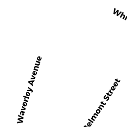
Adjacent Properties
- 24 BELMONT ST
Single Family Residential owned by WONG CHRIS AN - 28-30 BELMONT ST
Two-Family Residential owned by LAMPIRIS JOHN TR - 32-34 BELMONT ST 1
Residential Condominium owned by HOARTY JOHN J JR & ANN G TRS - 32-34 BELMONT ST #2
Residential Condominium owned by KLEROWSKI JON P - 32-34 BELMONT ST
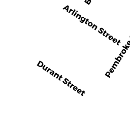
Other, Open Space owned by 32-34 BELMONT ST MASTER DEED - 23 PEMBROKE ST
Two-Family Residential owned by LIEBERMAN HARRIS R & ELLICE - 79-81 ARLINGTON ST
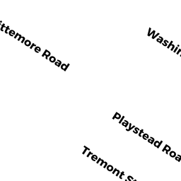
Two-Family Residential owned by HATTEN WILLIAM J - 27 PEMBROKE ST #1
Residential Condominium owned by RICHARDSON HEATHER C - 27 PEMBROKE ST #2
Residential Condominium owned by WANG JINGYI - 27 PEMBROKE ST
Other, Open Space owned by 27 PEMBROKE ST MASTER DEED - 31 PEMBROKE ST #31
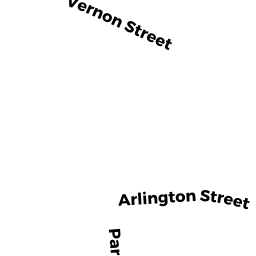
Residential Condominium owned by MASINTON MARTHA C TR - 67 ARLINGTON ST #67
Residential Condominium owned by NIAKOSARI ALI R TR - 67 ARLINGTON ST
Other, Open Space owned by 67 ARLINGTON STREET MASTER DEED